
Teacher Edition | View the Map
Week of March 3, 2024
Right click and SAVE AS
to download the Google Earth file for this episode
Use free Google Earth software
to OPEN it, using File> Open.
Find more tech info here.
The area also features low hills and broad, shallow valleys. The land is fertile and has gently rolling prairies. The Missouri River also passes through St. Louis. Both of these large rivers create wide flood plains and cut large valleys.
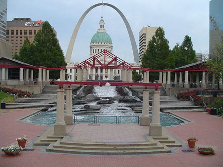
So today we had the opportunity to explore St. Louis and even visited the Gateway Arch (see our picture). That HUGE arch rises over 630-feet overlooking the Mississippi River. We took a ride to the top. We could feel the wind up there, almost like the arch was blowing in the wind. It was kind of scary and exciting at the same time. Take a look at our pictures of this huge landmark. Don't miss our map of this bustling city!
- Geo
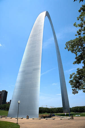
The Gateway Arch!
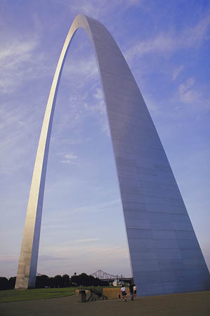
Another shot of the Gateway Arch
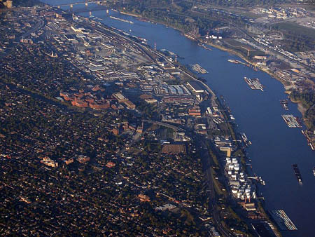
Map of St. Louis
Take a look at the map of St. Louis. Can you find the Gateway Arch? What else do you see on the map?
The climate here is very unique, since there are no large bodies of water or large mountains to moderate the temperature. It is classified as the humid continental climate and humid subtropical climate. Interestingly, St. Louis experiences cold Arctic air in the winter and hot, humid, tropical air during the summer. The city has four distinct seasons.
Springtime brings the most rainfall and changeable weather ranging from late winter storms to severe storms with large hail, high winds, and even tornadoes. This city has experienced many damaging tornadoes. Fall is typically mild with lower humidity and less rain. I don't know much about humidity because Phoenix does not have it.
- Meri
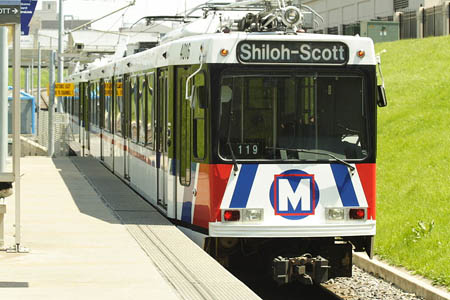
The rail transit in St. Louis. Photo by Matthew Black, licensed under Creative Commons. See full photo credit here.
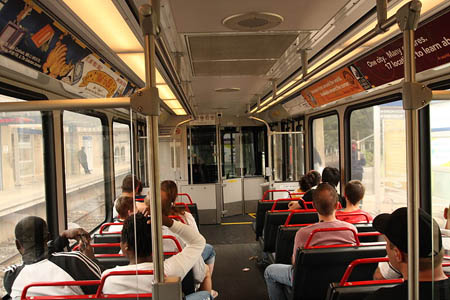
Inside the train. Photo by Matthew Black, licensed under Creative Commons. See full photo credit here.
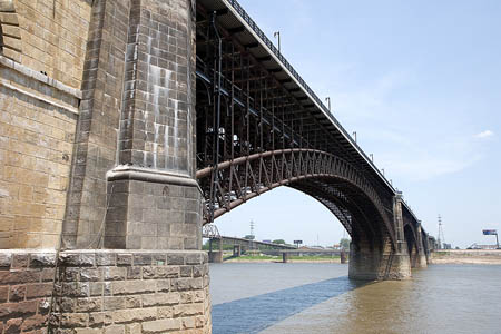
The Mississippi river and a beautiful bridge in St. Louis.
Missed my conx flight - running a few hours behind. B there by
Holy Idaho! He never finished his text message. So we wondered how we were going to know when or where to meet him? This was all so strange. And about 15 minutes later, we received another text message from Louie (even stranger).
Who R U? Entering the fish market
This was all getting too weird and a little scary, so we called Uncle GT. He told us to head back to the hotel and stay put until he gave us a call. While we were still on his office phone with him, Uncle GT received a text message from Louie asking him the same question, "Who R U?" So then GT got even more concerned. We are now back in the hotel room waiting to hear from either GT or Louie. Uncle GT is afraid that several things may have happened: Louie may be in trouble and had his phone stolen or maybe he was captured by bad guys who wanted to use his map and geography skills. We just aren't sure. We will write more when we know what in the world is going on. I hope Louie is OK.
To keep our minds off of the possibilities, Geo has been researching the various sports team in St. Louis. The most popular team seems to be the baseball team. Maybe that is because baseball season starts soon. Do you know the name of the baseball team in St. Louis?
- Meri
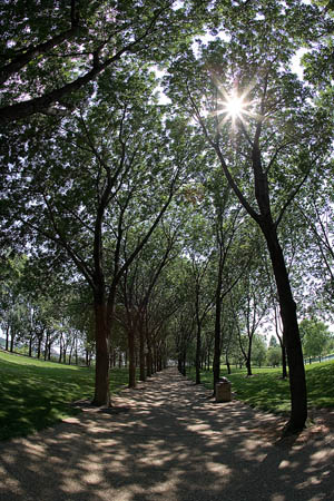
Beautiful St. Louis


banks - the land along the edge of a river.
bluffs - high steep hillsides.
humid continental climate - a climate found in the temperate regions marked by variable weather patterns and a large seasonal temperature variance. This climate experiences all four seasons.
humid subtropical climate - a climate with hot, humid summers and cool winters.
metropolitan area - an area with a large population center (a lot of people).
plains - level (or nearly level) treeless countryside.
prairies - large, flat, rolling areas with grassland that is mainly treeless.
river erosion - the gradual removal of rock and other materials from the bed and banks of a river.
terraces - flat land at a high elevation.
tornadoes - violent and dangerous storms producing extreme winds.
valleys - lowlands between mountains or hills
Grade 3-5: Knows the basic elements of maps and globes (title, legend, cardinal, scale, grid, meridians, time zones, etc.).
Grade 6-8: Understands concepts such as axis, seasons, rotation, and revolution.
Grade 3-5: Knows major physical and human features of places as they are represented on maps and globes. Knows how to read different maps: road, relief, globe, etc..
Grade 3-5: Knows the location of major cities in North America.
Grade 3-5: Knows the approximate location of major continents, mountain ranges, and bodies of water on Earth.
Grade 6-8: Knows the relative location of, size of, and distances between places.
Grade 3-5: Knows different methods to measure data (miles, kilometers, time, etc..).
Grade 3-5: Knows the characteristics of a variety of regions (climate, housing, religion, language, etc..).
Grade 6-8: Knows how places and regions serve as cultural symbols (Opera House in Sydney or Tower Bridge in London).
Grade 3-5: Knows how and why people divide Earth's surface into political and/or economic units (e.g., states in the United States and Mexico; provinces in Canada; countries in North and South America; countries linked in cooperative relationships, such as the European Union).
Grade 3-5: Knows natural hazards that occur in the physical environment (floods, tornadoes, earthquakes, etc..).