
Teacher Edition | View the Map
Week of February 18, 2024
Right click and SAVE AS
to download the Google Earth file for this episode
Use free Google Earth software
to OPEN it, using File> Open.
Find more tech info here.
We know that Louie is in one of three states (Nebraska, Montana, or South Dakota). But we aren't sure exactly where, and that is a lot of land to explore! We FINALLY got a text message from Louie with map coordinates. It didn't say much else at all:
Text from Louie: 45 North 108 West
Take a look at the map below (the BEST map we could find) and try to figure out which state we need to fly to next! Remember Louie has to be in Nebraska, Montana, or South Dakota.
- Meri
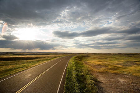
The Great Plains
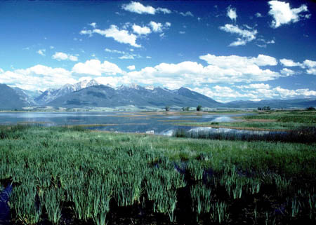
Another beautiful picture of the Great Plains
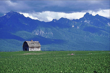
The prairies of the Great Plains
Map of the USA with map coordinates
Take a look at this map and try to figure out which state we need to fly to next! Remember to check the lines of latitude and longitude.
During our flight, we learned an interesting fact. Did you know that the Great Plains are a large contributor to the wind power in the United States? Some cities in the Great Plains have used wind power to bring jobs to local residents, increase the town's declining population, make significant income, and create a clean and reusable form of energy. Why is the Great Plains a good place for this kind of energy?
- Geo
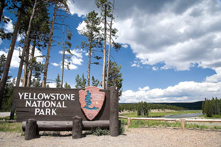
A sign for Yellowstone National Park. No we didn't get to visit, but we did find some great photos!
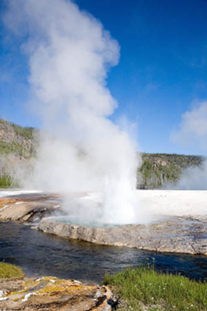
Yellowstone National Park
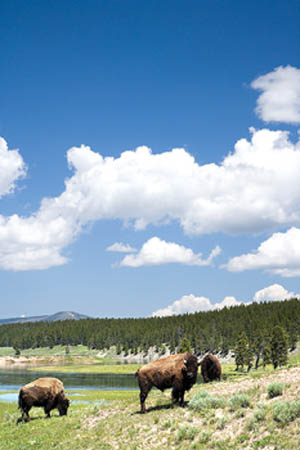
A picture of bison found at Yellowstone National Park
- Meri
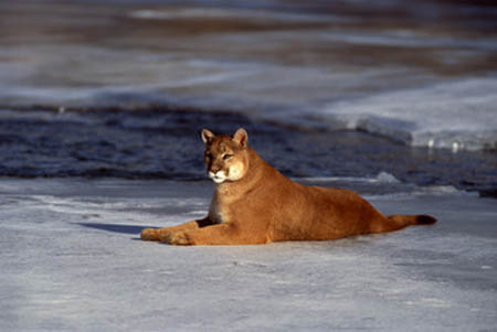
Mountain Lion (a picture we found, we didn't actually SEE it)!
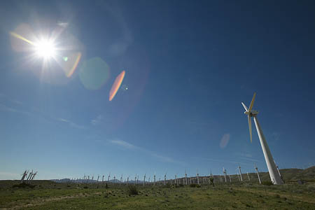
Do you know what this picture shows?
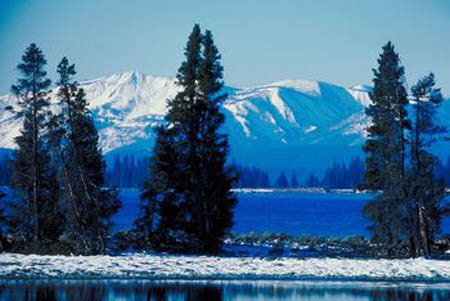
Another picture we found of Yellowstone
drought - a severe water shortage (very little rain).
dust storm - a windstorm that lifts up and blows around dust, sand, and even clouds.
dust storms - windstorms that lift up and blow around dust, sand, and even clouds.
Great Plains - a vast prairie region of the United States that includes parts of 10 states: Colorado, Kansas, Montana, Wyoming, Texas, South Dakota, Oklahoma, North Dakota, Nebraska, and New Mexico.
map coordinates - numbers that provide the exact location of a specified country or other area. The coordinates provide the degrees of longitude and latitude. Coordinates help people locate specific areas on a map.
prairies - large, flat, rolling areas with grassland that is mainly treeless.
Back to top
Grade 3-5: Knows the basic elements of maps and globes (title, legend, cardinal, scale, grid, meridians, time zones, etc.).
Grade 3-5: Uses map grids (e.g., latitude and longitude or alphanumeric system) to plot absolute location.
Grade 3-5: Knows major physical and human features of places as they are represented on maps and globes. Knows how to read different maps: road, relief, globe, etc..
Grade 3-5: Knows the location of major cities in North America.
Grade 6-8: Knows the relative location of, size of, and distances between places.
Grade 3-5: Knows different methods to measure data (miles, kilometers, time, etc..).
Grade 6-8: Understands criteria that give a region identity (such as Amsterdam as a transportation center or the Sunbelt's warm climate and popularity with retired people).
Grade 6-8: Knows how places and regions serve as cultural symbols (Opera House in Sydney or Tower Bridge in London).
Grade 3-5: Knows the physical components of Earth's atmosphere (weather and climate), lithosphere (land forms such as mountains), hydrosphere (oceans, lakes and rivers), and biosphere (vegetation and biomes).
Grade 3-5: Knows how and why people divide Earth's surface into political and/or economic units (e.g., states in the United States and Mexico; provinces in Canada; countries in North and South America; countries linked in cooperative relationships, such as the European Union).
Grade 3-5: Knows how communities benefit from the physical environment (e.g., people make their living by farming on fertile land, fishing in local water, working in mines; the community is a port located on a natural harbor, a tourist center located in a scenic or historic area, an industrial center with good access to natural resources).
Grade 3-5: Knows natural hazards that occur in the physical environment (floods, tornadoes, earthquakes, etc..).