
Teacher Edition | Week 7 Map
Week of December 3, 2023
Right click and SAVE AS
to download the Google Earth file for this episode
Use free Google Earth software
to OPEN it, using File> Open.
Find more tech info here.
We visited Navy Pier today. They have cruises going out, special musical events, a HUGE Ferris wheel and other rides, and much more. Events change every week (every day sometimes). It was cold, but worth it. It was a nice break from our search for Louie. We even visited the Willis Tower (used to be called the Sears Tower). This is another famous building in America. Did you ever hear of it? We took pictures of Chicago. PS - I have learned why Chicago is called the "Windy City." Holy Idaho!
- Meri
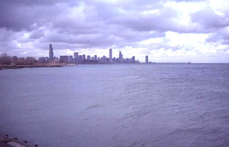
The beautiful Lake Michigan
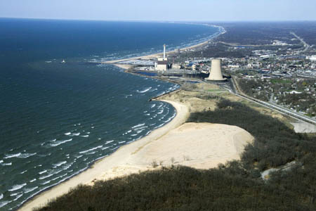
An aerial shot of the beach at Chicago (on Lake Michigan). Can you believe how blue the water is?
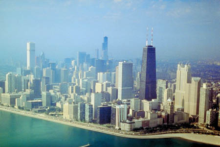
Isn't is amazing how such huge skyscrapers are right across the street from the water?
Navy Pier
Find out more about the Navy Pier at their homepage
- Geo
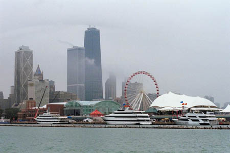
The Navy Pier (see the Ferris Wheel)
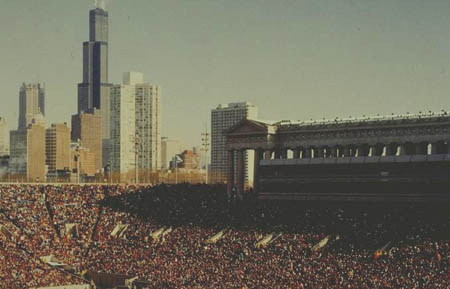
Willis Tower (the tallest buildling)
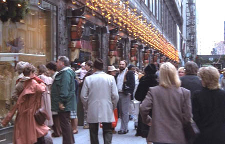
Downtown Chicago
Portage is pretty simple to explain (although I never heard of the word). It is basically a way for boats and/or ships to carry supplies between two waterways. I guess since "port" is where things get carried on and off ships and "portable" means you can carry something, it makes sense that a portage carries things between two bodies of water.
Simply put, a watershed is an area that catches snow and rain and drains into a certain stream, creek, marsh, lake, or another waterway. That area "sheds" its water into a body of water. My dog sheds, too!
Okay, now that my nightly research is finished, Meri and I are off to do some nighttime sightseeing. GREAT NEWS! GT has an office in Chicago and flew in to surprise us today. He is staying until we board our cruise on Saturday. Our final stop on the cruise is Helena, Arkansas. Can you look at the attached map and figure out which cardinal direction we will be traveling?
- Geo
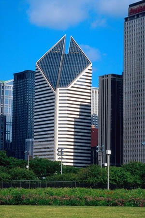
More amazing architecture in Chicago!
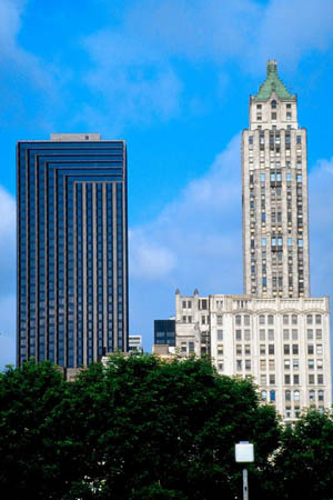
These skyscrapers are SO HIGH
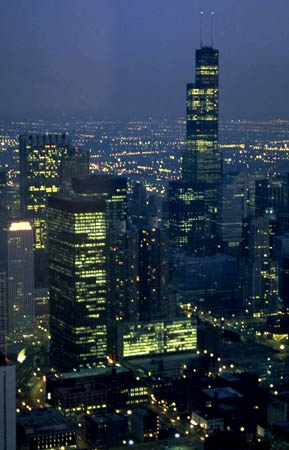
A picture of the night sky in Chicago
Map of the United States
Look at the map. What cardinal direction will we travel from Chicago, Illinois to Helena, Arkansas?
cardinal direction - a term used to describe all four primary directions (north, south, east and west).
continental divide - the "backbone" of a continent. In North America, it runs from the Northern tip of Alaska all the way south to New Mexico. It moves along the Rocky Mountains, which separate the eastward-flowing waters from the westward-flowing waters.
portage - a way for boats and/or ships to carry supplies between two waterways.
watershed - the area of land that catches snow and rain and then drains into a stream, creek, marsh, lake, or other waterway.
Back to top
Grade 3-5: Knows the basic elements of maps and globes (title, legend, cardinal, scale, grid, meridians, time zones, etc.).
Grade 3-5: Knows major physical and human features of places as they are represented on maps and globes. Knows how to read different maps: road, relief, globe, etc..
Grade 3-5: Knows the location of major cities in North America.
Grade 3-5: Knows the approximate location of major continents, mountain ranges, and bodies of water on Earth.
Grade 6-8: Knows the location of physical and human features on maps and globes (e.g., culture hearths such as Mesopotamia, Huang Ho, the Yucatan Peninsula, the Nile Valley; major ocean currents; wind patterns; land forms; climate regions).
Grade 6-8: Knows the human characteristics of places (e.g., cultural characteristics such as religion, language, politics, technology, family structure, gender; population characteristics; land uses; levels of development).
Grade 3-5: Knows the characteristics of a variety of regions (climate, housing, religion, language, etc..).
Grade 6-8: Understands criteria that give a region identity (such as Amsterdam as a transportation center or the Sunbelt's warm climate and popularity with retired people).
Grade 3-5: Knows how and why people divide Earth's surface into political and/or economic units (e.g., states in the United States and Mexico; provinces in Canada; countries in North and South America; countries linked in cooperative relationships, such as the European Union).