
Teacher Edition | Map Week 6
Week of November 26, 2023
Right click and SAVE AS
to download the Google Earth file for this episode
Use free Google Earth software
to OPEN it, using File> Open.
Find more tech info here.
- Meri
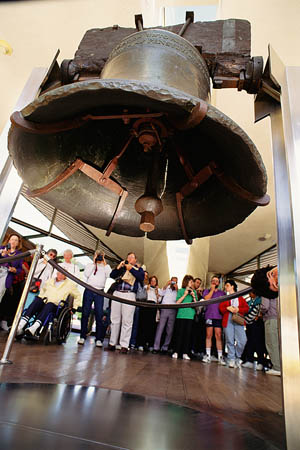
Liberty Bell in Philadelphia. We found this photo online. Today, we all had to wear masks.
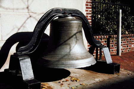
Close up of the Liberty Bell
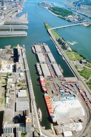
Port of Philadelphia
Liberty Bell
Here is Ben\'s Guide to the Liberty Bell. Check it out to learn more about the importance of this American symbol.
Back before Washington, D.C. was our Nation's capital, guess where the capital was? It was here in Philadelphia. This is truly the city where our democracy was born. Our nation was "born" here in 1776 with the Declaration of Independence and the ringing of the Liberty Bell. Our government was also "born" here since the writing of the U.S. Constitution occurred in Philadelphia.
Today we did some sightseeing and went to some amazing museums and attractions. My favorite was the Franklin Institute (see the link we shared below). At the Franklin Institute, we learned all about one of my favorite inventors of all time: Benjamin Franklin. I thought I knew a lot about him, but I was wrong. The most interesting fact that I didn't know was that he was the President of the Philadelphia Abolitionist Movement (to abolish slavery). He also organized the first fire department in Philadelphia. And I thought that he was just a scientist and inventor. Boy was I wrong!
I guess I should explain WHERE Philadelphia is located. We are on the eastern side of the United States, at the eastern end of Pennsylvania. It is actually the largest city in the entire state! Take a look at the map of PA and see if you can find Philadelphia. What other major cities can you find? The city of Philadelphia is surrounded by mountains, valleys, lakes, streams, rivers, the Pocono Mountains, and more. This city truly has it all! Can you find the port?
The weather here is fairly moderate. The winters are cold (but certainly not like Alaska), and the summer does get hot and humid (due to engulfed air from the Atlantic Ocean). So even though it isn't quite winter here yet, it is pretty cold. We both have on our warm winter coats.
- Geo
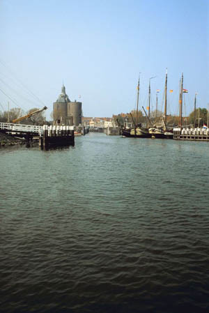
Port of Philadelphia
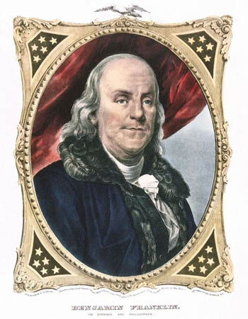
Do you know who this guy is? (Hint: we went to a museum about him today).
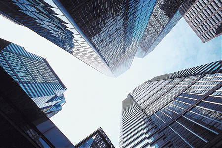
A cool picture Meri took downtown (looking up at all of the skyscrapers).
Franklin Institute
Learn more about the Franklin Institute. This site has lots of neat online exhibits to explore.
Map of Philadelphia and Pennsylvania
Take a look at the map of PA and see if you can find Philadelphia. What other major cities can you find? The city of Philadelphia is surrounded by mountains, valleys, lakes, streams, rivers, the Pocono Mountains, and more. This city truly has it all! Can you find the port?
- Meri
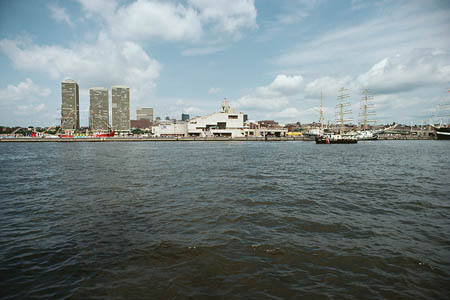
Philadelphia (the city of Brotherly Love)
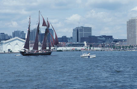
Another picture of the water in Philadelphia. Holy Idaho! What a cool city!
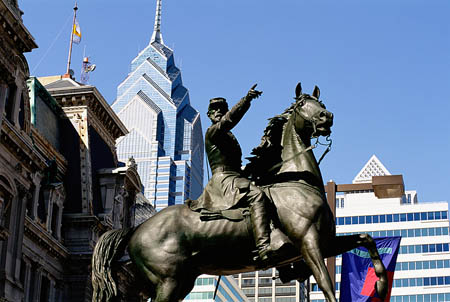
A cool statue we saw in Philadelphia
United States Map
Can you find Chicago? Which state is this great city located in? Here is a hint... it is around some Great Lakes too!
democracy - a government that is run by the people or by their elected representatives. The United States is a democracy because we elect our president and other leaders.
freshwater port - a place on a "freshwater" waterway with facilities for loading and unloading ships. Freshwater refers to any water that does not contain salt (remember, oceans contain salt).
moderate - a climate that doesn't have extremely cold winters or hot summers.
port - a place on a waterway with facilities for loading and unloading ships (cargo, passengers, etc.).
tributary - a small river or stream that flows into a larger river or other body of water.
Back to top
Grade 3-5: Knows the basic elements of maps and globes (title, legend, cardinal, scale, grid, meridians, time zones, etc.).
Grade 3-5: Knows major physical and human features of places as they are represented on maps and globes. Knows how to read different maps: road, relief, globe, etc..
Grade 3-5: Knows the location of major cities in North America.
Grade 6-8: Knows the location of physical and human features on maps and globes (e.g., culture hearths such as Mesopotamia, Huang Ho, the Yucatan Peninsula, the Nile Valley; major ocean currents; wind patterns; land forms; climate regions).
Grade 3-5: Understands how changing transportation and communication technology has affected relationships between locations. Ease of travel between some and difficulty getting to some others because of transportation and how people move and shop from one to the other because of the ease (trains, road systems, ferries, etc...).
Grade 6-8: Understands distributions of physical and human occurrences with respect to spatial patterns, arrangements, and associations (e.g. why some areas are more densely settled than others).
Grade 3-5: Knows the characteristics of a variety of regions (climate, housing, religion, language, etc..).
Grade 6-8: Understands criteria that give a region identity (such as Amsterdam as a transportation center or the Sunbelt's warm climate and popularity with retired people).
Grade 6-8: Knows how places and regions serve as cultural symbols (Opera House in Sydney or Tower Bridge in London).
Grade 3-5: Knows the physical components of Earth's atmosphere (weather and climate), lithosphere (land forms such as mountains), hydrosphere (oceans, lakes and rivers), and biosphere (vegetation and biomes).
Grade 3-5: Knows significant historical achievements of various cultures of the world (e.g., the Hanging Gardens or Babylon, the Taj Mahal in India, pyramids in Egypt, temples in ancient Greece, bridges and aqueducts in ancient Rome).
Grade 3-5: Knows how and why people divide Earth's surface into political and/or economic units (e.g., states in the United States and Mexico; provinces in Canada; countries in North and South America; countries linked in cooperative relationships, such as the European Union).
Grade 6-8: Understands the symbolic importance of capital cities (such as Canberra, a planned city, as the capital of Australia).
Grade 3-5: Knows how humans adapt to variations in the physical environment (e.g. choices of clothing, housing styles, agricultural practices, recreational activities, food, daily and seasonal patterns of life).
Grade 3-5: Knows how communities benefit from the physical environment (e.g., people make their living by farming on fertile land, fishing in local water, working in mines; the community is a port located on a natural harbor, a tourist center located in a scenic or historic area, an industrial center with good access to natural resources).