
Teacher Edition | View the Map
Week of April 7, 2024
Right click and SAVE AS
to download the Google Earth file for this episode
Use free Google Earth software
to OPEN it, using File> Open.
Find more tech info here.
- Meri
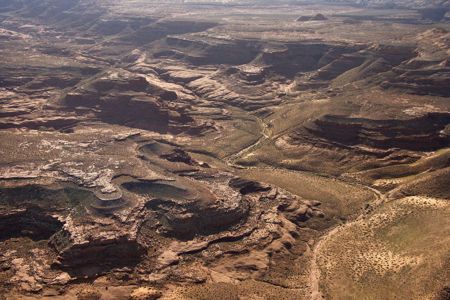
Here is a picture we found of Utah!
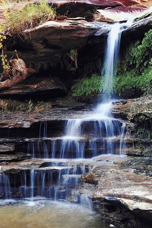
Look at the beautiful picture we found of a waterfalls in Utah?
Map of Utah
Here is a map we found of Utah. Can you find the state Capital? What else does this map provide? Is there a map legend?
Another interesting fact about this area is that it is laid out on a grid plan. This means that most major streets run east-west or north-south. Addresses within this grid plan are all coordinates (very similar to longitude and latitude). We will see if we can find a map that shows you the grid plan layout. Are the streets where you live on a grid layout?
The climate in this city is characterized as a steppe climate. They experience four seasons. Summer and winter are both long. The summers are hot and dry. The winters typically experience snow. Spring experiences the most rain. Salt Lake City receives about 16 inches of precipitation every year. Most snow is lake-effect snow. Do you remember what that is?
- Geo

Salt Lake City at Night
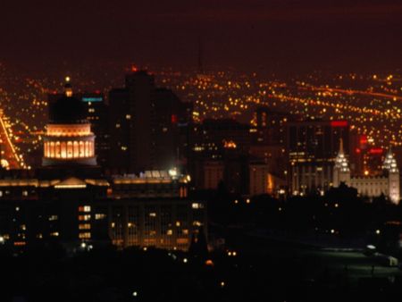
Another nighttime shot of Salt Lake City
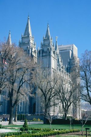
Here is a famous Mormon church that we found on the Internet today in Salt Lake City, Isn't it beautiful?
Grid Map of Utah
Here is a grid map that we found online. Can you find Salt Lake City? Although this map doesn\'t allow you to click on the grid boxes, it does give you a clear example of how a grid map works.
- Meri
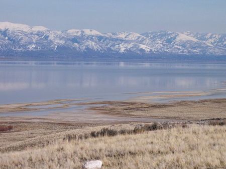
The Great Salt Lake
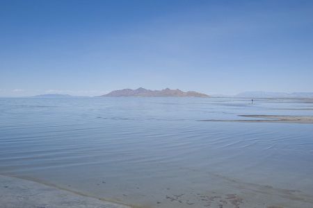
Another picture of the Great Salt Lake
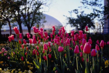
A shot of some beautiful flowers (and another Mormon church) that we saw in photos of Salt Lake City.
Map of Utah (and surrounding states)
Which states surround Utah? Which state is to the north, south, east, and west? How many states border Utah?
Email from Louie:
Did you two have me followed? The two gentlemen who have been following me showed up at this hotel. I don't know how to know if I can trust you.
Email to Louie:
Louie, we aren't tricking you. And we didn't tell ANYONE where you were, except our Uncle GT. You know we are safe. Let's meet up and let us prove it to you. We attached a photo to this email so you know we are "for real." The picture is something we KNOW you enjoy collecting! We will meet you at the Minuteman. The clue is in the quarter. There will be so many people there; it will be safe. But try to meet up with us by first thing Monday AM. Uncle GT and some associates will be there to protect you from the men following you!
- Meri
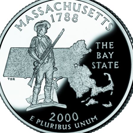
The state quarter (picture) that we sent to Louie.
elevation - the altitude (or how high) a location is above sea level.
grid plan - area in which the basic street pattern is planned as a grid with regular spacing between blocks.
latitude - the lines that run across (east and west) a map. Lines of latitude measure degrees via north or south. The equator is at 0 degrees latitude.
longitude - lines that run up and down the map (north and south). These lines are used to measure degrees east or west from the prime meridian. The prime meridian is located at 0 degrees longitude.
map coordinates - numbers that provide the exact location of a specified country or other area. The coordinates provide the degrees of longitude and latitude. Coordinates help people locate specific areas on a map.
marshlands - a type of wetland that has frequent or continuous floods. Marshlands typically have shallow water and include grasses and many other plants.
marshlands - a type of wetland that has frequent or continuous floods. Marshlands typically have shallow water and include grasses and many other plants.
mudflats - coastal wetlands formed when mud is deposited by tides or rivers.
steppe climate - generally describes regions that receive low annual rainfall. The experience all four seasons.
Back to top
Grade 3-5: Knows the basic elements of maps and globes (title, legend, cardinal, scale, grid, meridians, time zones, etc.).
Grade 3-5: Uses map grids (e.g., latitude and longitude or alphanumeric system) to plot absolute location.
Grade 6-8: Understands concepts such as axis, seasons, rotation, and revolution.
Grade 3-5: Knows major physical and human features of places as they are represented on maps and globes. Knows how to read different maps: road, relief, globe, etc..
Grade 3-5: Knows the location of major cities in North America.
Grade 3-5: Knows the approximate location of major continents, mountain ranges, and bodies of water on Earth.
Grade 6-8: Knows the location of physical and human features on maps and globes (e.g., culture hearths such as Mesopotamia, Huang Ho, the Yucatan Peninsula, the Nile Valley; major ocean currents; wind patterns; land forms; climate regions).
Grade 6-8: Knows the human characteristics of places (e.g., cultural characteristics such as religion, language, politics, technology, family structure, gender; population characteristics; land uses; levels of development).
Grade 3-5: Knows the characteristics of a variety of regions (climate, housing, religion, language, etc..).
Grade 3-5: Knows the physical components of Earth's atmosphere (weather and climate), lithosphere (land forms such as mountains), hydrosphere (oceans, lakes and rivers), and biosphere (vegetation and biomes).
Grade 3-5: Knows how and why people divide Earth's surface into political and/or economic units (e.g., states in the United States and Mexico; provinces in Canada; countries in North and South America; countries linked in cooperative relationships, such as the European Union).
Grade 3-5: Knows how communities benefit from the physical environment (e.g., people make their living by farming on fertile land, fishing in local water, working in mines; the community is a port located on a natural harbor, a tourist center located in a scenic or historic area, an industrial center with good access to natural resources).