
Teacher Edition | View the Map
Week of October 29, 2023
Right click and SAVE AS
to download the Google Earth file for this episode
Use free Google Earth software
to OPEN it, using File> Open.
Find more tech info here.
Hey Guys! I am doing well in a city that Lewis and Clark visited towards the end of their journey. I just visited Mt. Hood. I am ENJOYING my break from DC. Please tell the government that I am fine; there is no need to worry. But I am not working on their project right now.
So, since I am pretty familiar with Lewis and Clark's famous expedition, I knew that we had to head to Portland since he mentioned Mt. Hood. Did you ever hear of Mt. Hood? It is actually a volcano (currently dormant, but it could become active again). I hope we get to visit! So that is how we ended up in this unique city, often called the "greenest" city in the US? What do you think it means if a city is "green?" I wonder if Phoenix is green. Do you think the city that you live in is green?
I have never been here before and am SO excited to explore! We have traveled ENTIRELY across the United States. Washington, DC, is on the East Coast (closer to the Atlantic Ocean), while Portland, Oregon, is on the West Coast (closer to the Pacific Ocean). We took an airplane from Washington-Dulles Airport. It was a straight flight, but a LONG flight. When you have a minute, take a look at the map of the United States. Can you figure out which cardinal direction we traveled from DC to Portland, Oregon? Can you figure out how many miles it is to travel from DC to Oregon? (Hint: use the map scale). We are now in another time zone: Pacific. The Pacific time zone is 3-hours behind DC. Right now, in Portland, it is 7 p.m., and in DC, it is 10 p.m. already. No wonder I am starting to get tired.
- Geo
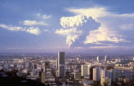
Here is the view of the city of Portland, as we landed.
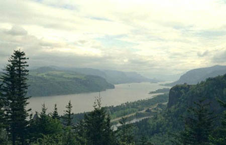
Up in the clouds!
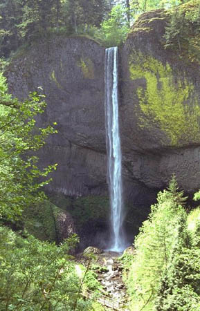
A beautiful waterfall we saw driving to our hotel.
Map of the United States
Which cardinal direction did we travel going from Washington, D.C. to Portland, Oregon? Can you figure out how many miles it is to travel from DC to Oregon (hint: use the map scale).
Hey guys, guess who??? I can't believe you are on the West Coast. Seriously, why didn't I get invited? I AM 13 years old! I am not a child anymore. Oh well, whatever. I told mom and dad that I found your blog. I was given some "direct" instruction that if I left this house, I would be grounded until the New Year (which doesn't sound fun to me).
PS I have one question for Geo: How many time zones are there in the USA? Pandora
Little sisters!!! Anyway, Pandora, to answer your question: in the continental United States (not including Alaska and Hawaii), there are four time zones: Eastern, Central, Mountain, and Pacific. If you include Alaska and Hawaii, there are additional time zones (called Alaskan Time Zone and Hawaii-Aleutian Time Zone). I posted a link with a map of the time zones to help you visualize where one time zone ends and another begins.
- Geo
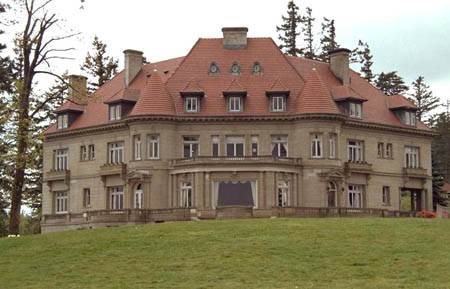
Pandora (and other readers) - here is a photo of a mansion we saw today. We didn't get to go inside.
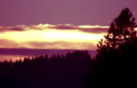
This picture shows the beautiful sunset we saw tonight!
Map of United States Time Zones
Check out this map of the United States time zones. Did you notice that part of Alaska (the Aleutian Islands) and Hawaii are in the SAME time zone?
Here is more information about time zones
Today, I found out the most fascinating fact about Portland. You might not realize this, but I have a thing for roses. I LOVE THEM! You see, Portland is located in the Marine west coast climate region. This region has warm and dry summers and rainy, temperate winters. Do you remember what temperate means? Spring is unpredictable: warm weather, thunderstorms, and rain. The average rainfall is 37.5 inches per year! Portland averages 155 days of rain each year. Holy Idaho! That is nearly half of the days! This climate is perfect for growing......ROSES. In fact, Portland has been called "The City of Roses" because of the many rose gardens. And yes, I did make Geo go visit the beautiful gardens; I think he secretly liked them almost as much as I did. Plus, it was fresh air and easy to socially distance ourselves from others. While we were out, we mainly traveled on either the MAX Light Rail or the ultra-cool Portland Aerial Tram. We posted links and pictures; check them out! Do you think these could have anything to do with Portland being called a "green" city?
- Meri
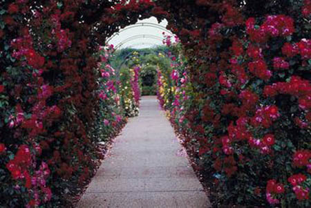
The entrance to the BEAUTIFUL rose garden. Holy Idaho!
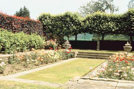
Another beautiful rose garden.
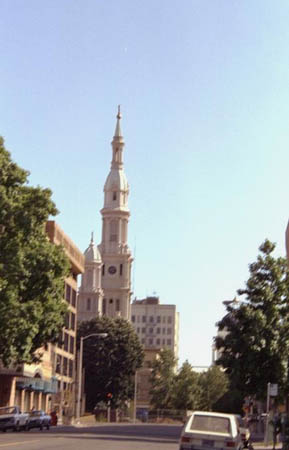
Here is a photo of the city taken today. Do you see the tower in the background?
MAX (Metroplitan Area Express)
Learn more about the MAX in Portland.
YouTube Video of the Portland Aerial Tram
Take a virtual trip on the Portland Aerial Tram.
Although we had an amazing day, there was no sign of Louie. I wish his email would have been more specific.
- Meri
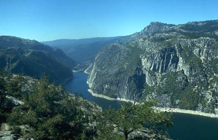
The amazing mountains of Portland!
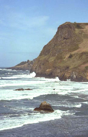
Check out this cliff and the waterfront - beautiful!
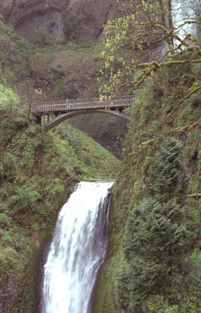
Here is a unique bridge that we saw today.
Map of the Ring of Fire
Check out this map to see all of the volcanoes in the Ring of Fire!
- Meri
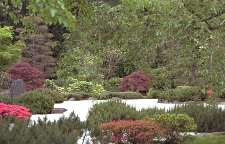
A beautiful garden/park area that we visited today.
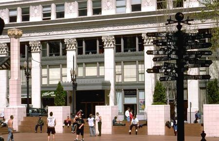
One final picture of Portland. We loved this city! Hope to make it back someday.
Houston Public Media
Read about the name change in Barrow, Alaska in 2016.
Atlantic Ocean - the second largest ocean in the world. It separates North and South America on the west from Europe and Africa on the east.
cardinal direction - a term used to describe all four primary directions (north, south, east and west).
dormant - inactive, but not extinct (used to describe volcanoes)
East Coast - the coast that borders the Atlantic Ocean.
green - environmentally aware, interested in preserving and protecting the environment
map scale - a graphic or line that shows the relationship between the distance on a map and the corresponding distance on the earth. For example, 1 inch may equal 500 miles. This allows users to calculate the approximate distance between two locations on a map.
Marine west coast - the climate typically found along the west coasts at the middle latitudes of all the world's continents, and in southeastern Australia. These areas have somewhat cool summers and comparatively cool winters.
Pacific Ocean - the largest ocean in the world.
ring of fire - a circle that encompasses the Pacific Ocean. In that circle, many volcanic eruptions and earthquakes occur. There are over 450 volcanoes in the ring of fire. Sometimes even tsunamis occur in the ring of fire.
temperate - a climate that provides warm summers and mild winters. The temperatures do not typically get extremely hot or cold.
time zone - how the time of day is determined throughout the world. There are 24 regions on the globe (loosely divided by longitude).
west coast - the coast that borders the Pacific Ocean.
Back to top
Grade 3-5: Knows the basic elements of maps and globes (title, legend, cardinal, scale, grid, meridians, time zones, etc.).
Grade 3-5: Knows major physical and human features of places as they are represented on maps and globes. Knows how to read different maps: road, relief, globe, etc..
Grade 3-5: Knows the location of major cities in North America.
Grade 3-5: Knows the approximate location of major continents, mountain ranges, and bodies of water on Earth.
Grade 6-8: Knows the location of physical and human features on maps and globes (e.g., culture hearths such as Mesopotamia, Huang Ho, the Yucatan Peninsula, the Nile Valley; major ocean currents; wind patterns; land forms; climate regions).
Grade 6-8: Knows the relative location of, size of, and distances between places.
Grade 3-5: Understands how changing transportation and communication technology has affected relationships between locations. Ease of travel between some and difficulty getting to some others because of transportation and how people move and shop from one to the other because of the ease (trains, road systems, ferries, etc...).
Grade 3-5: Knows different methods to measure data (miles, kilometers, time, etc..).
Grade 6-8: Knows the physical characteristics of places (soil, vegetation, wildlife, etc..).
Grade 3-5: Knows the characteristics of a variety of regions (climate, housing, religion, language, etc..).
Grade 6-8: Understands criteria that give a region identity (such as Amsterdam as a transportation center or the Sunbelt's warm climate and popularity with retired people).
Grade 3-5: Knows the physical components of Earth's atmosphere (weather and climate), lithosphere (land forms such as mountains), hydrosphere (oceans, lakes and rivers), and biosphere (vegetation and biomes).
Grade 6-8: Knows the consequences of a specific physical process operating on Earth's surface (e.g., effects of an extreme weather phenomenon such as a hurricane's impact on a coastal ecosystem, effects of heavy rainfall on hill slopes, effects of the continued movement of Earth's tectonic plates).
Grade 3-5: Knows how and why people divide Earth's surface into political and/or economic units (e.g., states in the United States and Mexico; provinces in Canada; countries in North and South America; countries linked in cooperative relationships, such as the European Union).
Grade 3-5: Knows how humans adapt to variations in the physical environment (e.g. choices of clothing, housing styles, agricultural practices, recreational activities, food, daily and seasonal patterns of life).
Grade 3-5: Knows how communities benefit from the physical environment (e.g., people make their living by farming on fertile land, fishing in local water, working in mines; the community is a port located on a natural harbor, a tourist center located in a scenic or historic area, an industrial center with good access to natural resources).
Grade 3-5: Knows natural hazards that occur in the physical environment (floods, tornadoes, earthquakes, etc..).